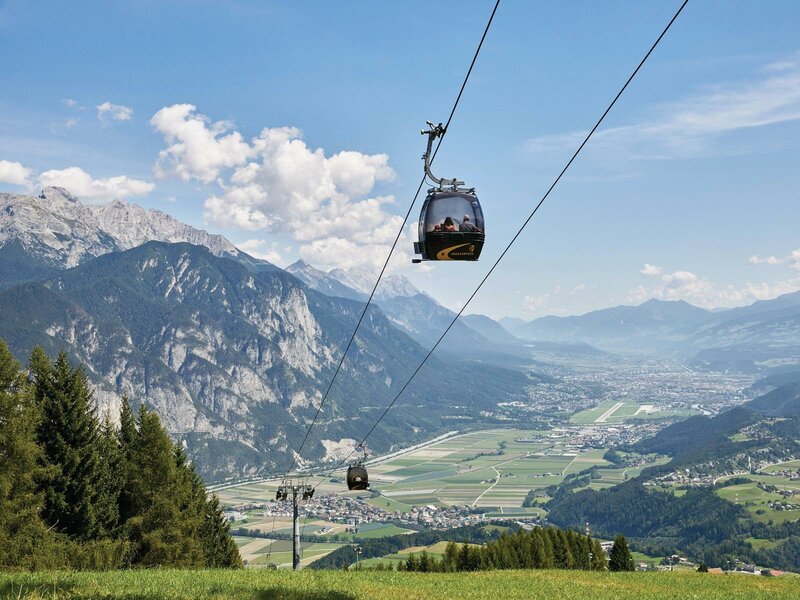
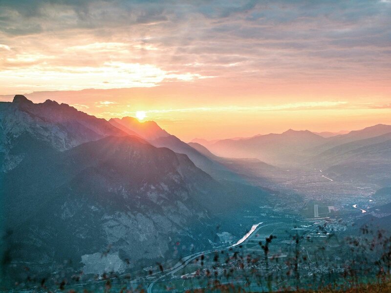
The Stiglreith Viewpoint is accessible via a panoramic road or by the lift facilities: There you can enjoy a great view down into the valley
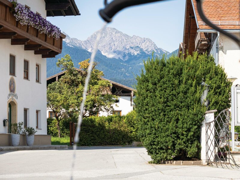
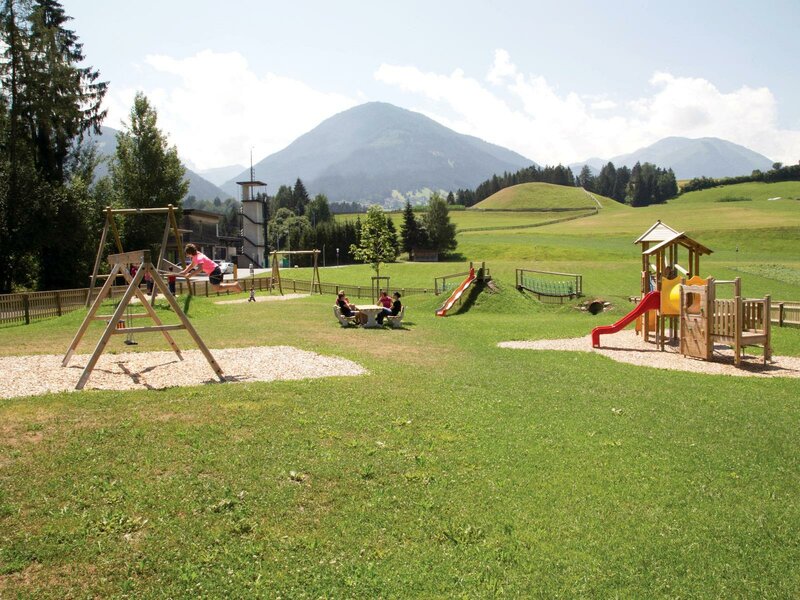
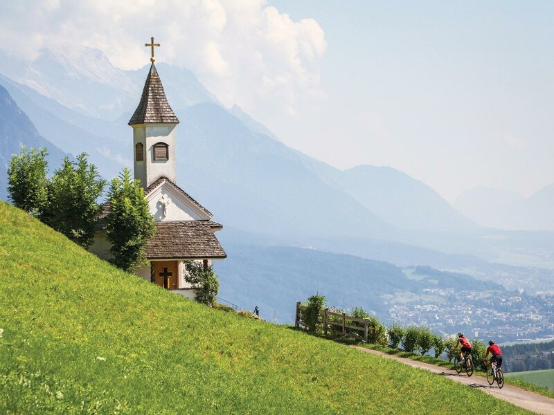
Image gallery: Oberperfuss
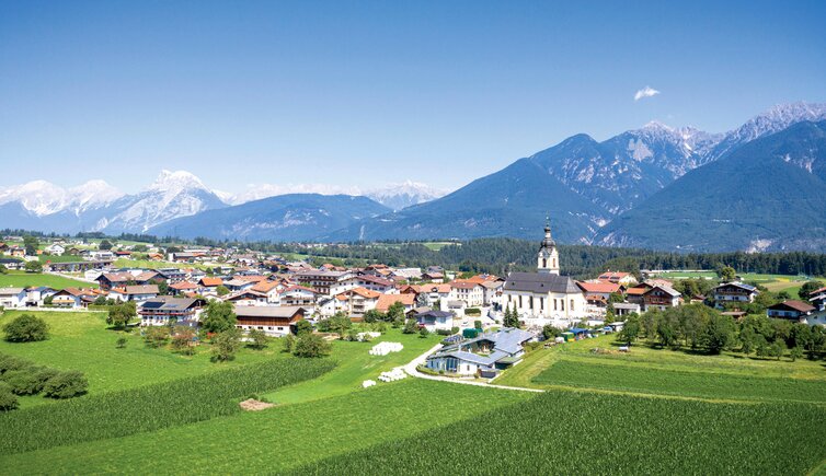
Altitude: 812 m a.s.l.
Oberperfuss is located in the west of Innsbruck at the entrance of the Sellrain Valley. Numerous component localities and hamlets form the municipal area, where the highest located farms reach up to 1,500 m a.s.l. in the outlying Tiefental valley. In the area, findings of the Young Stone Age were made at the Krimpenbach Alpine Pasture, as well as of the Iron Age at the Scheibenbühel hill.
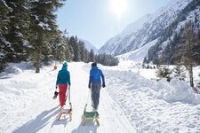
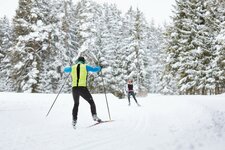
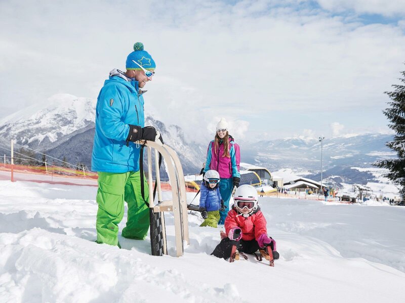
The surrounding mountains with the Rangger Köpfl, at the foot of which the holiday resort is located, catch attention in summertime. Numerous trails take you on the alpine pastures and summits - among the most famous trails, there is the Sellraintal High Route. Mt. Rangger Köpfl itself can be reached by cable car from Oberperfuss: It is a small hiking and skiing area with a fantastic view on the Mieming Mountains, the Kaiser Mountains, the Lechtal and Tux Alps, and the Stubai Glacier. In winter, it offers nine km of ski slopes.
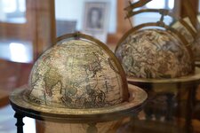
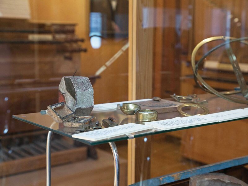
By the way: Oberperfuss is the birthplace of the cartographers Peter Anich, Anton Kirchebner and Blasius Hueber. Peter Anich (1723-1766) created a map of Tyrol by order of the Empress Maria Theresia. Still today, this map is known under the name "Anichkarte". To the honour of Peter Anich and Blasius Hueber the village established the Anich-Hueber Museum, exhibiting mementos of both cartographers. The residence of Peter Anich is located in the locality of Völsesgasse.