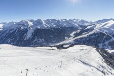
Finkenberg includes several three-thousanders, such as Mt. Hochfeiler (3,509 m a.s.l.) and the Olperer Glacier (3,476 m a.s.l.)


Altitude: 839 m a.s.l.
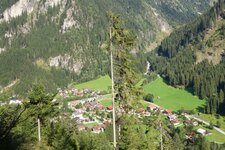
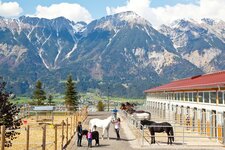
The holiday village Finkenberg is located at the entrance of the Tux Valley between the spurs of the Penken and Grünberg mountains. It is the largest municipality of the Zillertal valley in terms of surface area. The Schlegeisgrund was assigned to Finkenberg by the Treaty of Saint-Germain - previously, this area was part of San Giacomo in the Val di Vizze valley in South Tyrol (Italy).
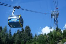
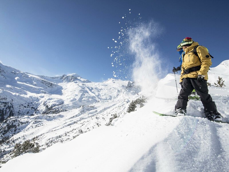
The Finkenberger Almbahn takes you on Mt. Penken, which is a popular hiking area in summer and a skiing area in winter. This ski resort belongs to the Ski & Glacier World Zillertal 3000, uniting the lift facilities between Tux and Mayrhofen and offering 210.5 km of ski slopes. They include the Harakiri slope which is steeper than a ski jumping hill. Moreover you can choose from other winter activities such as sledging, cross-country skiing and ice skating on the Tux-Finkenberg rink.
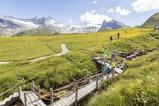
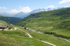
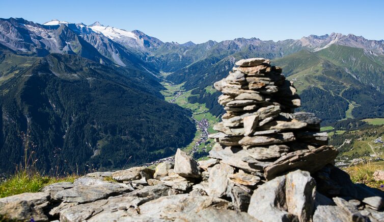
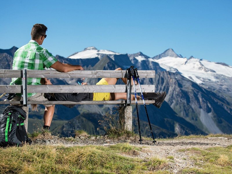
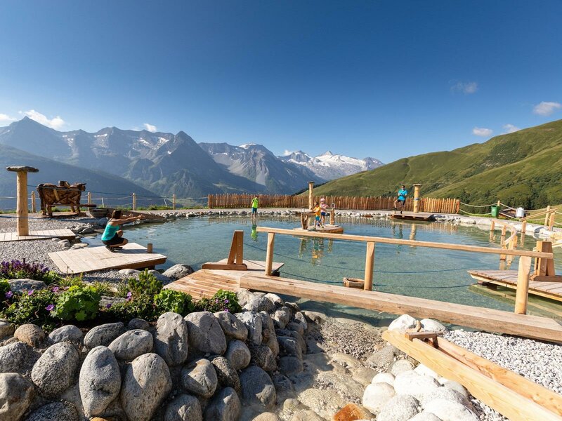
Being nature park municipality of the Zillertal Alps Nature Park, in summer Finkenberg is a paradise for hikers. Particularly popular is the Moor Educational Trail between the intermediate station of the Finkenberger Almbahn Cable Car and the Schrofen Mountain Hut. In this area, there are several wetlands and fens, which represent threatened habitats in Austria. The village itself features two interesting bridges: The Hochstegbrücke shows the ancient arts of building wooden bridges, whereas the Devil's Bridge is considered to having been built by the devil in person.