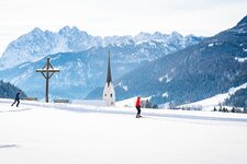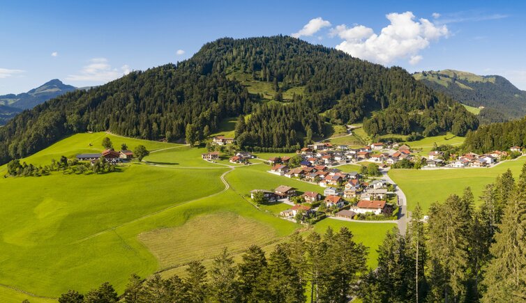
The small village of Rettenschöss is surrounded by mountains, offering a great view on Mt. Zahmer Kaiser
Image gallery: Rettenschöss
-
-
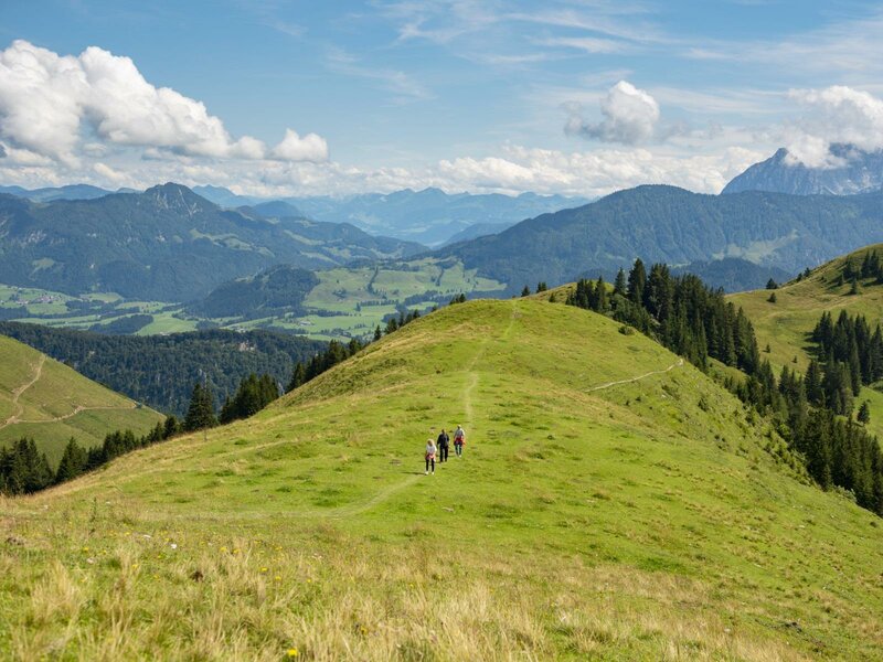
D_Kaiserwinkl-Sommer-Sommerwandern-Wandern-Gipfel.jpg
-
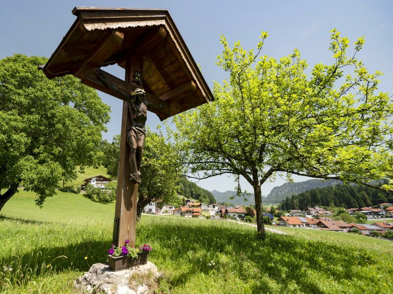
D_Kaiserwinkl-Urlaub-Landschaft-Rettenschoess-Sommer2.jpg
-
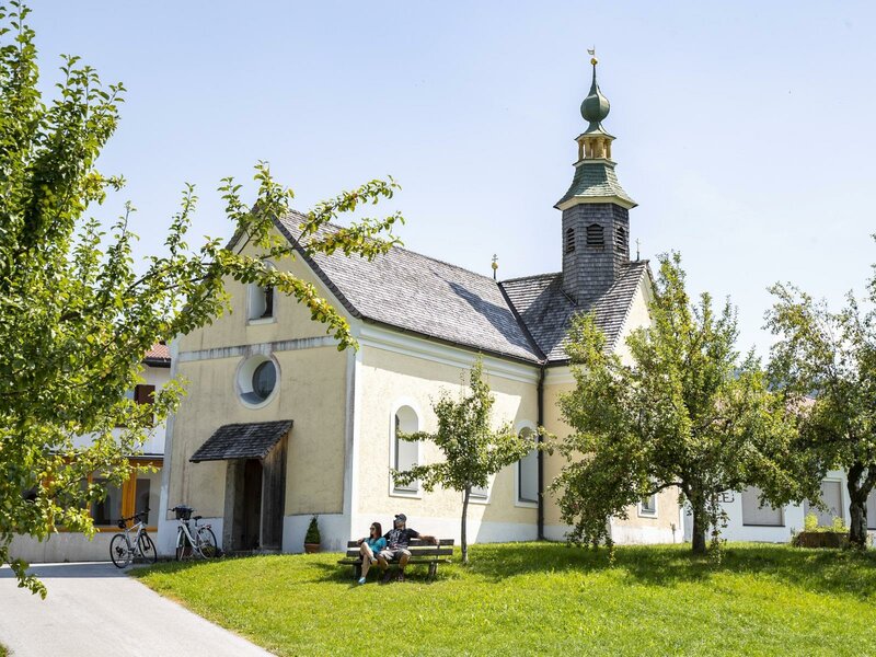
D_Kaiserwinkl-Urlaub-Landschaft-Koessen-Kapelle.jpg
-
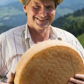
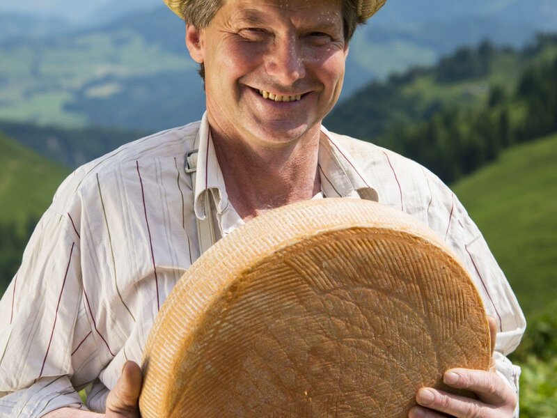
D_Kaiserwinkl-Urlaub-Kulinarik-Genuss-Kaese.jpg
-
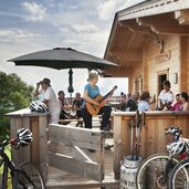
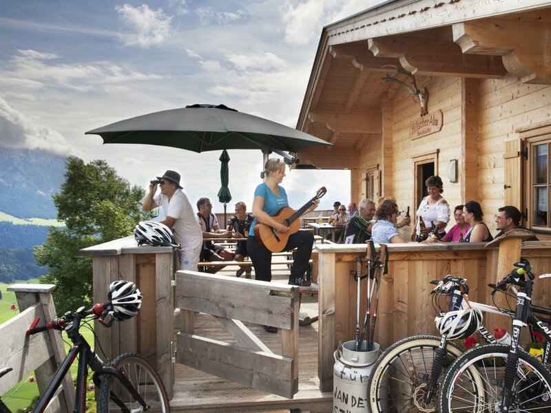
D_Kaiserwinkl-Urlaub-Aktivitaeten-Walchsee-Huette.jpg
-
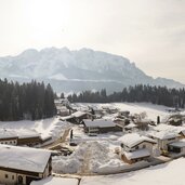
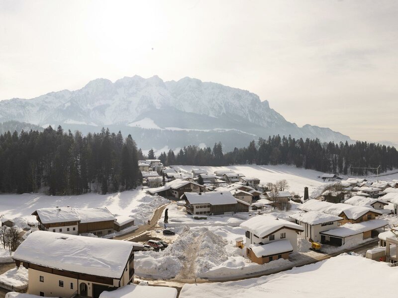
D_Kaiserwinkl-Urlaub-Landschaft-Rettenschoess-Winter.jpg
-
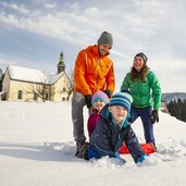
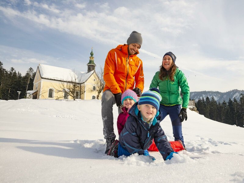
D_Kaiserwinkl-Urlaub-Aktivitaeten-Schneeschuhwandern.jpg
Altitude: 680 m a.s.l.
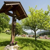
The municipal area of Rettenschöss stretches from 600 m up the slopes to 1,455 m a.s.l. Its centre is represented by the hamlet of Harland, including the town hall, the elementary school and a chapel. Here, you are near the German Bavaria, and in fact the territory of Rettenschöss passed in the 16th century from the hands of Bavarian dukes into the hands of the Counts of Tyrol. Still today, the municipal coat of arms shows a white-blue field of rhombuses standing for Bavaria.
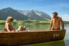
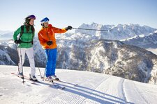
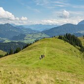
Together with the villages of Walchsee, Kössen and Schwendt, Rettenschöss is part of the Kaiserwinkl holiday area. Especially those who love nature will enjoy a stay here: Besides Lake Walchsee, also the Niederndorf Panorama Pool in the forest, 5 km away, invites you to jump into the waters. In the mountains, the 1,808 m high Geigelstein and Mt. Spitzstein, or the Zahmer Kaiser and Wilder Kaiser peaks slightly more distant, are popular hiking destinations.
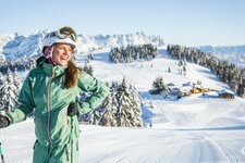
In winter, Rettenschöss offers some ice stock sport rinks as well as a 13 km long cross-country ski track, taking you from Miesberg to Walchsee and round Mt. Miesberg. If you prefer skiing, you can look forward to the SkiWorld Wilder Kaiser - Brixental: Its 288 km of well-groomed slopes are comfortably accessible from different villages.