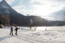
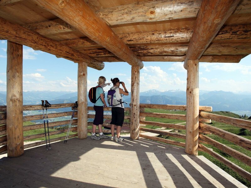
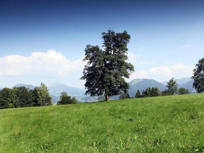
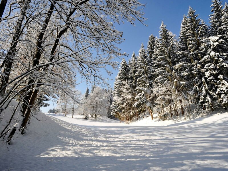
Angerberg with its lovely hamlets spread all over is a real paradise for those who love hiking and cross-country skiing

Altitude: 650 m a.s.l.
Angerberg is located in the heart of the Inn Valley. Until December 17, 1981, the municipality used to be called Unterangerberg, afterwards it changed its name. Today, the lovely village with its ancient farms and hamlets is a popular holiday resort for hikers and cross-country skiers.
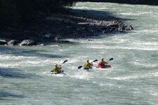
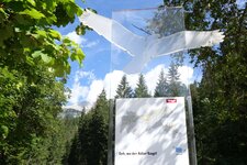
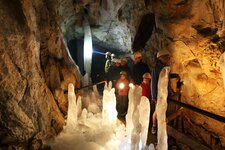
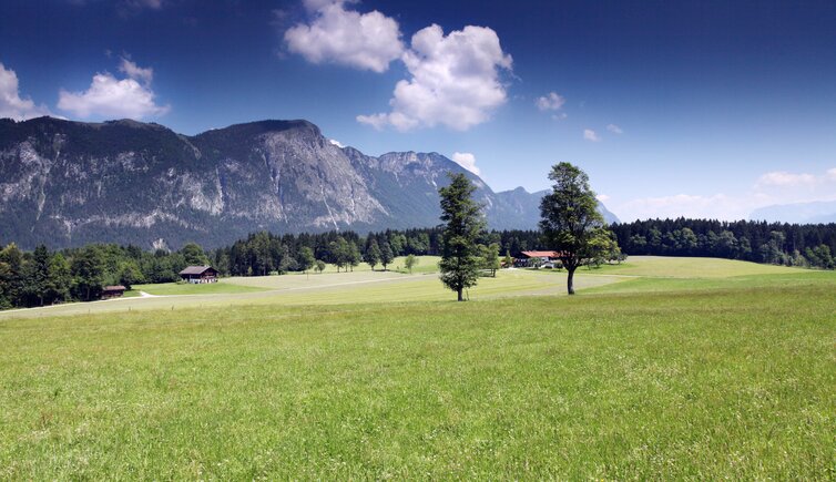
Above the village rises the local mountain, Mt. Buchacker. There, you can find the Hundalm Ice Cave, which can be reached in a several hours' hike from the village. The tour is easy, but long and therefore exhausting, and can be extended, if you'd like to reach the 1,637 m high Hundalmjoch pass, a wonderful viewing point. Also the Eagle Trail leads through this mountain world, a long-distance hiking path with 24 day stages in North Tyrol and an additional 9 stages in East Tyrol. Seeking a thrill? Then GetWet Outdoor Adventures will take you on a rafting trip.
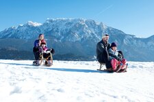
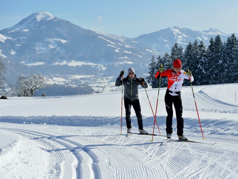
In winter, 40 km of cross-country ski trails at the sunny plateau Angerberg-Mariastein make you explore the landscape. Awarded with the "Tiroler Loipengütesiegel" quality seal, they are able to satisfy every needs and are used for competitions as well. Among them there are the Kaiserblick Circuit and the illuminated Training Track and Night Trail. Those who love skiing can look forward to the nearby SkiWorld Wilder Kaiser - Brixental, Austria's largest nighttime skiing area. Until recently, in Angerberg there was also a husky ranch, which has found a new home in Sweden...