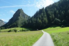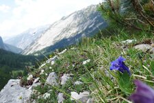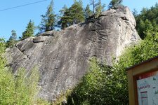
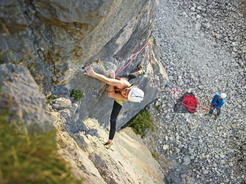
The Martinswand rock face in Zirl is a popular climbing area with several routes as well as a beautiful nature reserve
Image gallery: Zirl
Altitude: 622 m a.s.l.
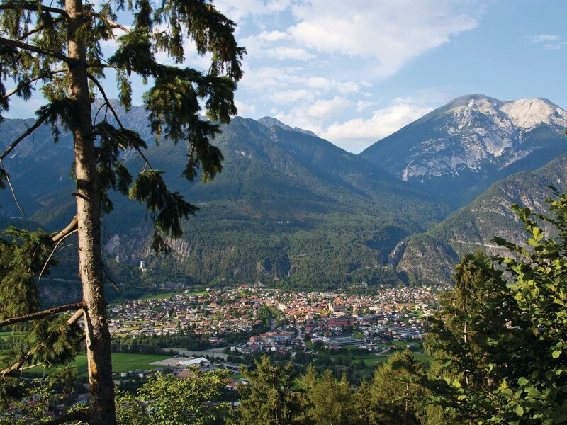
Part of the market town of Zirl are the Martinswand rock face, the Ehnbach Gorge and parts of the Nordkette mountain chain, a well-known hiking and skiing area. Due to its location at the Roman road Via Claudia Augusta, already in early times Zirl represented an important traffic junction. The grapevine illustrated on the coat of arms of the municipality refers to viticulture tradition in the village and thus also to the mild climate that prevails in this area.
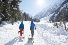
The idyllic holiday resort is located at the end of the Karwendel Mountains, consequently it is an ideal starting point for hikes along the Karwendel High Route, to the Neue Magdeburger Mountain Hut at 1,633 m a.s.l. or the Solstein Refuge. A popular climbing area, however, is the Martinswand with the 153 routes of the Dschungelbuch (Jungle Book) Climbing Garden. Down in the valley, the Inn Cycle Route - Tiroler Oberland snakes its way between the Swiss Engadine and Innsbruck.
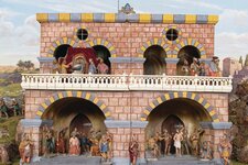
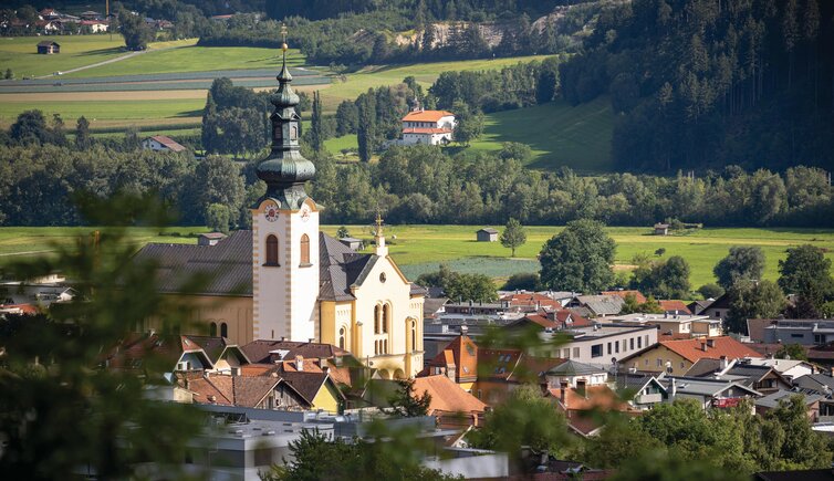
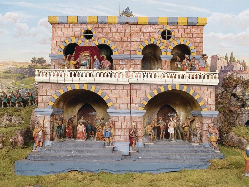
From the 17th century on, Zirl and Thaur have been centres for Tyrolean nativity-scene making - also the Local and Crib Museum, exhibiting a large collection of Christmas and Lent Cribs in Zirl, is dedicated to this topic. Further sights in the village are the Holy Cross Parish Church decorated with frescoes by the painter Franz Plattner, and the ruin of Fragenstein Castle, located in the nature reserve above the village. It was built in 1209 AD, and in the course of the 18th century, in the Spanish Succession Wars, the castle got destroyed.