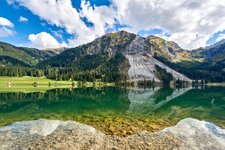
The deep blue Vilsalpsee in the eponymous nature reserve is one of the most popular destinations in the Tannheimer Valley
Image gallery: Lake Vilsalp
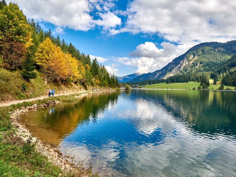
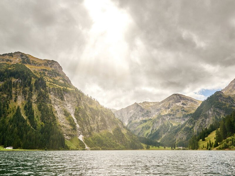
Lake Vilsalp is situated in the Vilsalpsee Mountains, which make part of the Allgäu Alps, below the equally beautiful Lake Traualp. The Vils river represents its only runoff: This river flows into the famous Lech, a wild river, and the latter reaches the Black Sea. The Vilsalpsee is a gem in the midst of a natural reserve, which is characterised by its richness in species.
Some 700 different plants as well as extremely rare animals such as Alpine Salamanders or European Toads have found their home in the Vilsalpsee Nature Reserve. For the great crested grebe, it is the highest located breeding area of Tyrol and only one of three breeding areas in Austria. Today, the lake is one of the most beautiful destinations in the Tannheimer Valley. A must-do is the tour round the lake - the path takes you in 1.5 hours also past the Berggaicht Waterfall.
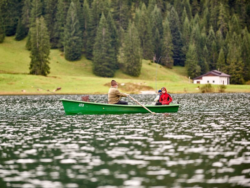
The local fishing association sells day tickets for fishing and rents rowboats for fishermen, and the Vilsalpe Refuge on the shores of the lake invites to try its Tyrolean specialities. During the day, the road to Lake Vilsalp is closed to private traffic, but there are public busses and the "Tannheimer Alpenexpress" train circulating between Tannheim and this wonderful place.
Altitude: 1,168 m a.s.l.
Surface: 57 hectares
Length: 1,4 km
Width: 500 m
Maximum depth: 30 m
Bathing: no
Water sports: no