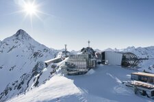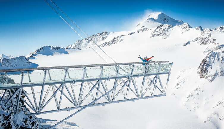
The skiing region at the Rettenbach Glacier and Tiefenbach Glacier is the largest skiable glacial area of Austria
Image gallery: Sölden Glacier
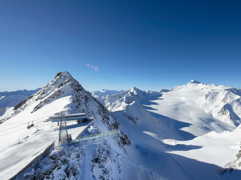
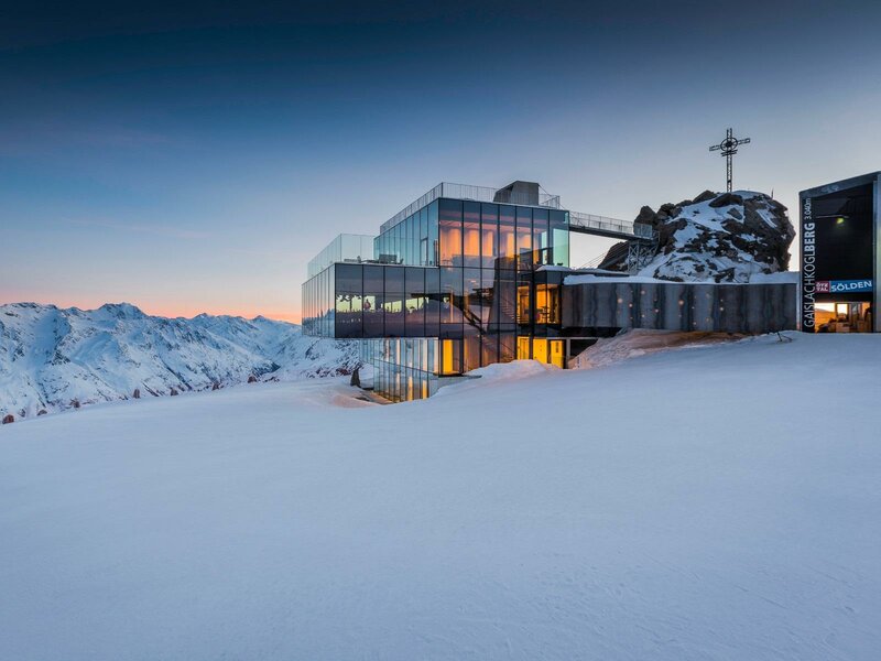
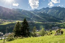
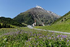
Sölden has got even two glaciers to offer, which are the Rettenbach and Tiefenbach Glaciers known as Sölden Gletscher in German. The skiing region at the glaciers, covering an area of about 20 sqkm, is one of the largest skiable glacial areas of Austria. Furthermore Sölden is the only skiing region that has to offer three skiable peaks that are more than 3,000 metres high, which are the Gaislachkogl, the Tiefenbachkogl and the Schwarze Schneide. They are known as the BIG3.
From the Rettenbach parking space you can take a four-seated chair lift to the Rettenbach Ridge, from where a ski lift takes you to the Schwarze Schneide and another one to the Karleskogel (3,107 m a.s.l.). It is connected to the Tiefenbach Glacier by a ski tunnel, the famous Rosi-Mittermeier-Tunnel. From the Rettenbach Glacier you can enjoy skiing down into the valley on a 15 km long slope, whereas the ski route down the Rettenbach Valley is considered to be an insider's tip.
Giggijoch Boarder Park, Race Course, Easy Cross, moguls - the choice is yours. And snow is guaranteed from October trough May. Of course also a stop in one of the 30 refuges is a must-do: They invite you to a pleasant rest and offer excellent Tyrolean delicacies.
Characteristics: BIG3 platform, three mountains of 3,000 metres, the longest ski run with 15 km
Skiing area: Sölden - Oetztal (glacial skiing area from October to May)