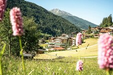
The 7 km long Zirbenweg trail takes hikers through the largest stone pine forest of the Alps
Image gallery: Stone Pine Path
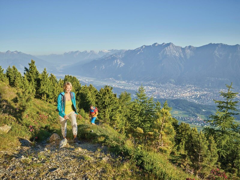
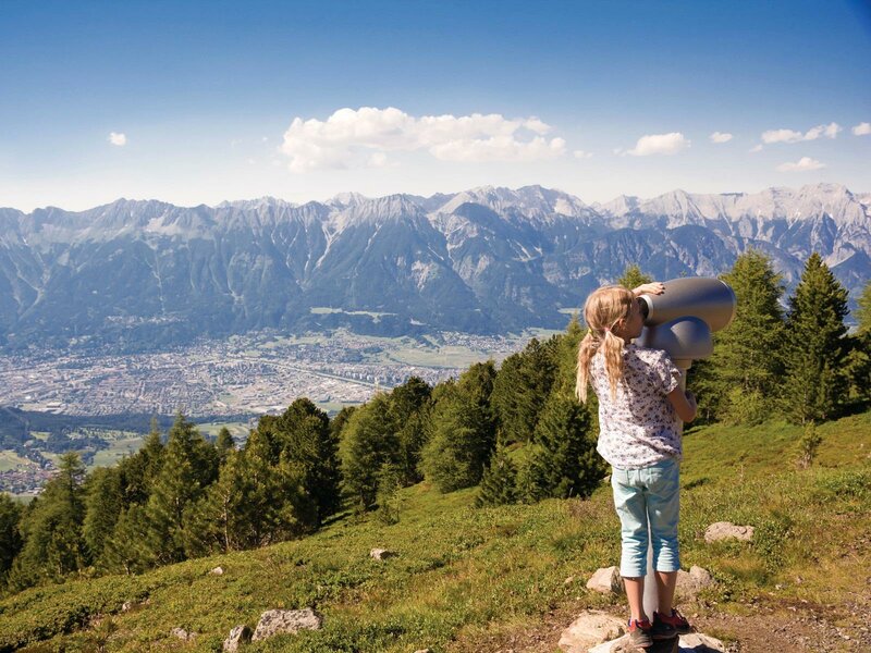
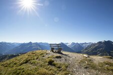
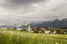
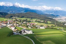
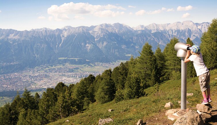
Between Mt. Glungezer and Mt. Patscherkofel there is the 7 km long Stone Pine Path, passing above Innsbruck at an altitude of 2,000 m a.s.l. A hike at the panorama path can be startet at the mountain station of the Glungezer Chairlift, starting from Tulfes near Innsbruck, or at the mountain station of the Patscherkofel Cable Car. The Zirbenweg snakes along at the bottom of Mt. Viggar and Mt. Neunerspitze, and does not boast hardly any difference in altitude.
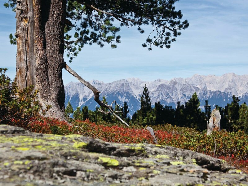
A walk on this panoramic path takes about 2.5 to 3 hours and crosses the oldest stone pine forest of the Alps. However, the panoramic view you can enjoy during your hike is fabulous: The Inn Valley extends at your feet, and the peaks of the Nordkette mountain chain tower into the sky above Innsbruck vis-à-vis. After a cosy stop in the Tulfein Mountain Hut (2,035 m a.s.l. - coming from Patscherkofel direction), you can either return down into the valley on foot or by chairlift. And those who still have energy can add a hike to the summit of Mt. Glungezer (2,677 m a.s.l.).
-
- Starting point:
- Glungezer or Patscherkofel mountain station
-
- Overall time:
- 02:30 h
-
- Total route length:
- 7,3 km
-
- Altitude:
- from 1.962 m to 2.061 m
-
- Altitude difference (uphill | downhill):
- +182 m | -86 m
-
- Signposts:
- Zirbenweg
-
- Destination:
- Tulfein Alm Alpine Hut
-
- Resting points:
- Tulfein Alm Alpine Hut
-
- Recommended time of year:
- Jan Feb Mar Apr May Jun Jul Aug Sep Oct Nov Dec
-
- Download GPX track:
- Stone Pine Path
If you want to undertake this hike, we recommend checking the weather and trail conditions in advance and on site before starting this hike!