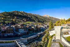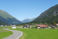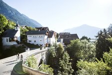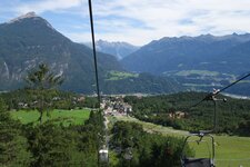
The Lechtaler Höhenweg, one of the most beautiful alpine paths in the Eastern Alps, crosses the homonymous Alps
The complessively 105 km long Lechtal High Route crosses the Lechtal Alps with its Tiroler Lech Nature Park longitudinally in east-west direction or vice versa. The high-altitude trail is part of the North Alpine Hiking Trail no. 1, and also a variant of the European long-distance trail E4 is partly identical with it. In order to hike the whole trail you should schedule 10 to 15 days.
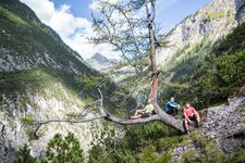
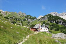
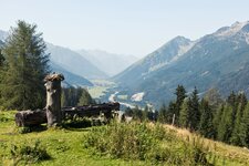
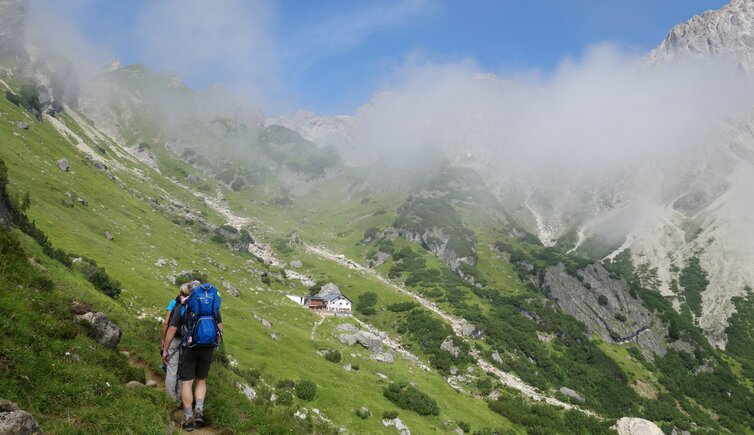
As it is partly rather demanding, you should be sure of step, especially in higher altitudes, in part you need also rope, ice axe and crampons. However, the Lechtal Alps are characterised by bizar rocks, rugged peaks and a marking landscape as well as idyllic mountain lakes. Moreover there are refuges of the Austrian Alpine Association spread all over the mountain range, snaking between 2,000 and 2,500 m a.s.l. - 12 mountain huts can be found between Steeg and the town of Imst.
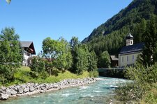
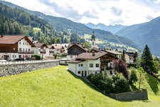
Starting point: Steeg in the Lechtal valley
Distance: 105 km
Walking time: 10 - 15 day stages