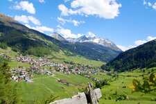
Nauders is located in the border triangle Austria-Switzerland-Italy: This hiking tour leads us past the Black Lake and the Green Lake to the Boundary Stone, where the three countries join
Image gallery: Hike to the Boundary Stone
-
-
D-5409-sessellift-mutzkopf-nauders.jpg
-
D-5397-weg-bei-kl-mutzkopf-dahinter-piz-lat.jpg
-
1472975150D-5392-berggasthof-mutzkopf.jpg
-
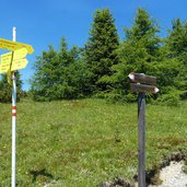
D-5384-nauders-wanderweg-9-kleiner-mutzkopf-wegweiser.jpg
-
D-5363-schwarzer-see-dahinter-piz-lat.jpg
-
D-5354-samnaungruppe-spiegelt-sich-in-schwarzer-see-von-nauders.jpg
-
1472975352D-5350-kueken-zwergtaucher-bei-schwarzer-see.jpg
-
D-5344-seerosen-schwarzer-see.jpg
-
D-5342-seerosen-schwarzer-see.jpg
-
D-5313-weg-6a-von-gruener-see-zu-schwarzer-see.jpg
-
D-5259-nauders-gruener-see.jpg
-
D-5252-knabenkraut-orchidee.jpg
-

D-5224-weg-von-dreilaenderstein-zu-gruener-see.jpg
-
1472975353D-5209-knoeterich-auf-grufa-wiesen-dahinter-samnaungruppe.jpg
-
D-5152-reschen-wiesen-bei-grenze-at-ch-darunter-reschensee.jpg
-
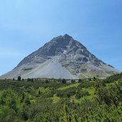
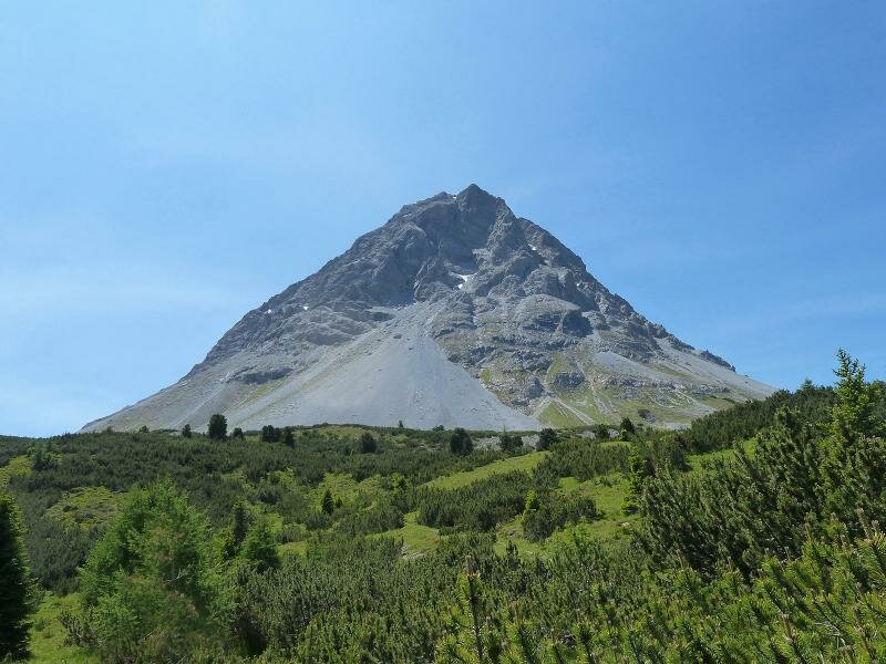
D-5043-piz-lad-piz-lat-grenzberg-italien-schweiz.jpg
-
D-5032-wegweiser–reschen-hoehenweg-zum-dreilaenderstein.jpg
-
D-5134-grenze-italien-oesterreich-oberhalb-reschenpass.jpg
-
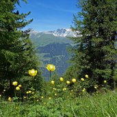
D-5063-blumen-am-dreilaenderstein-weg.jpg
-
D-5122-dreilaenderstein-weg.jpg
-
D-5078-dreilaenderstein-dreilaendereck-schweiz-oesterreich-italien.jpg
-
D-5107-dreilaenderstein-dreilaendereck-vinschgau-engadin-inntal.jpg
-
D-5104-dreilaendereck-aussicht-auf-engadin-und-samnaungruppe.jpg
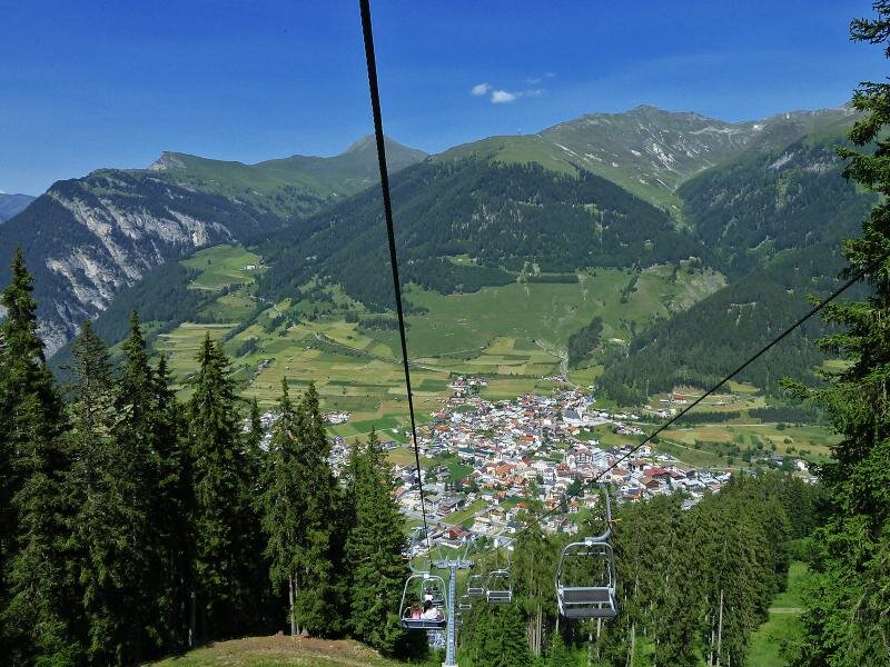
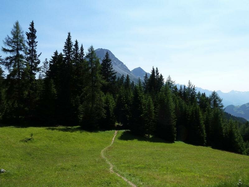
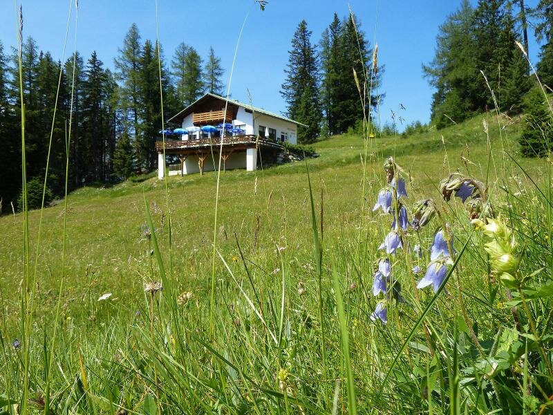
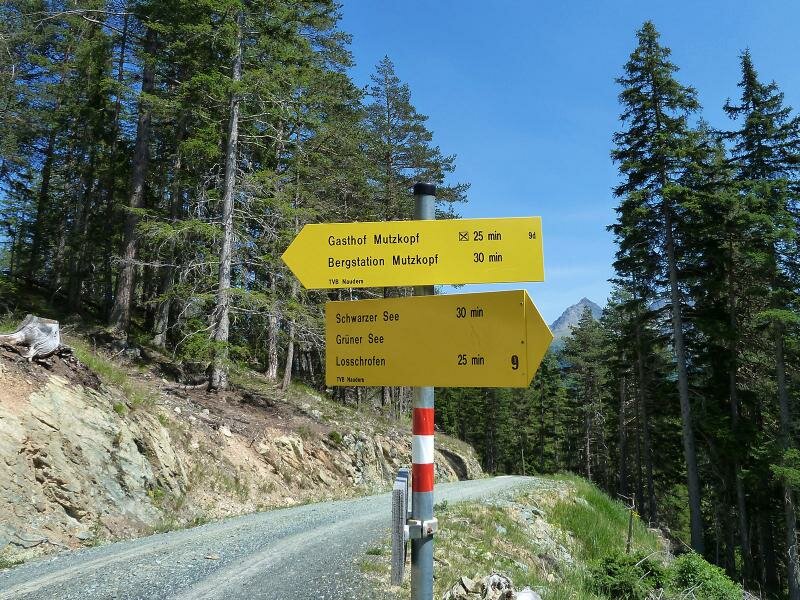
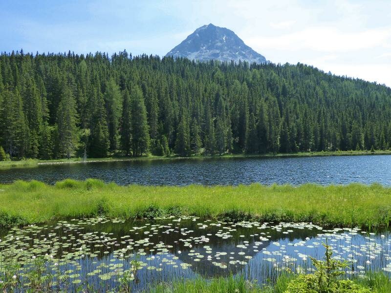
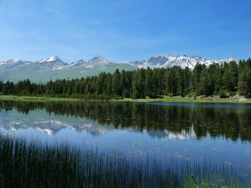
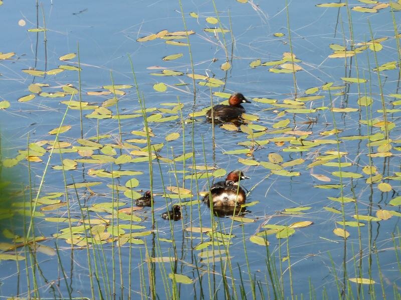
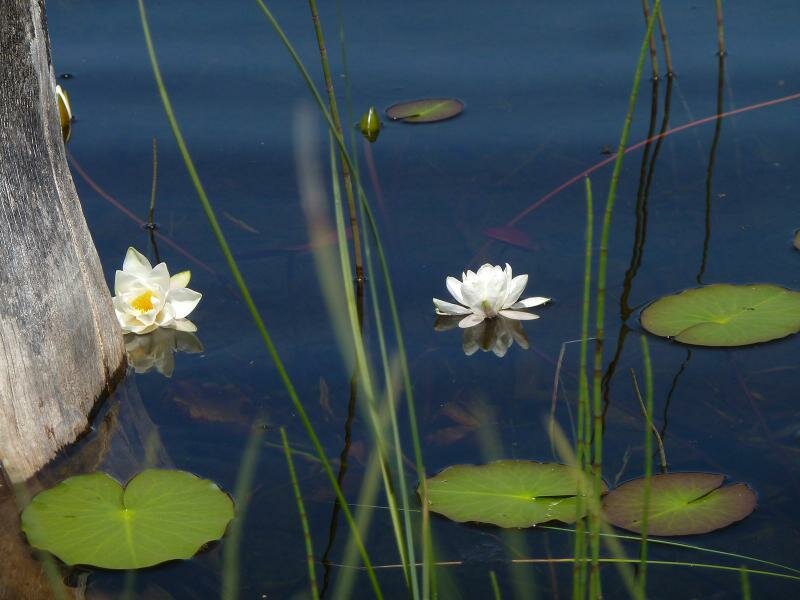
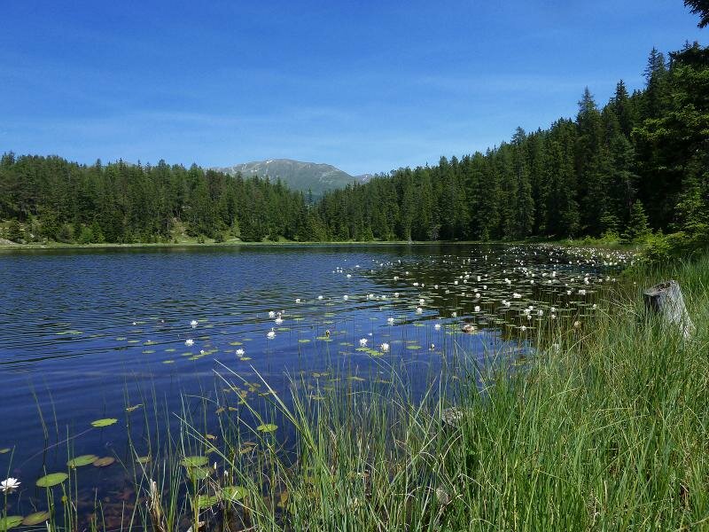
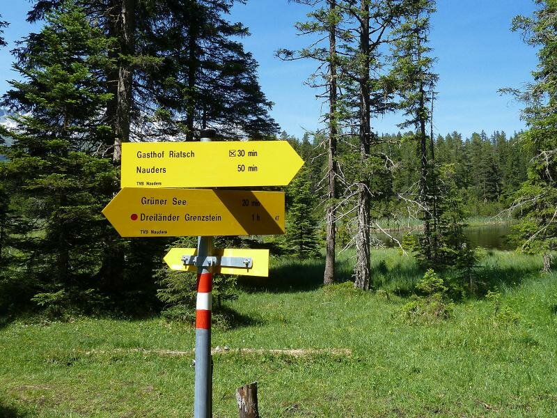
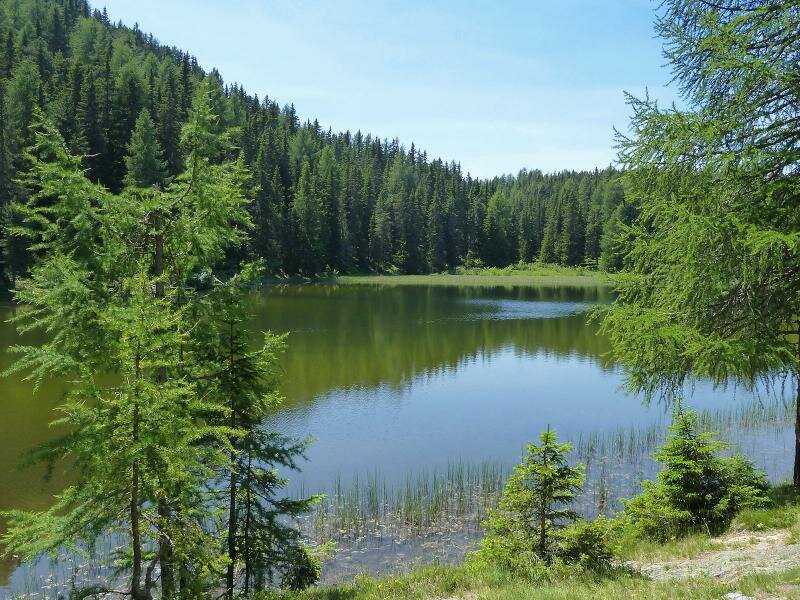
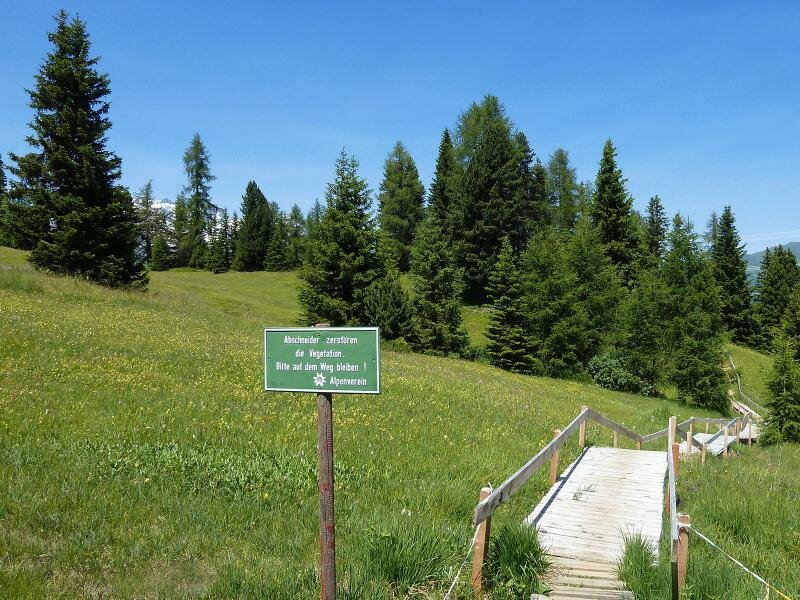
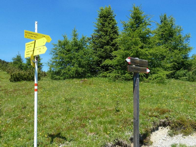
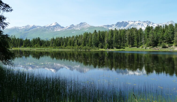
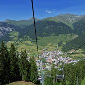
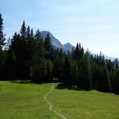
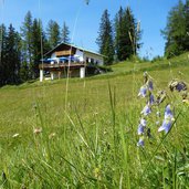
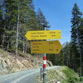
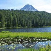
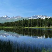
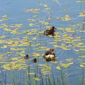
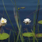
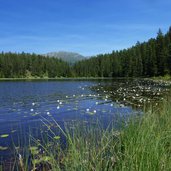
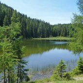
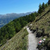
We take the chair lift in Nauders to go up to Mt. Kleinmutzkopf (1,800 m a.s.l.). Past the Mutzkopf tavern, we follow the path to the Black Lake (Schwarzer See), which we reach after about 2 km. This lake is the secret highlight of our hike as it is of particular beauty. The dark water looks untouched, the peaks of the Samnaun Alps are reflected in it. The reed belt and the water lilies are the ideal habitat for water birds like the little grebes which we meet. A gorgeous place to stay, but we have to make a move. We carry on walking along the path no. 9 towards the Green Lake (Grüner See). It is a bit smaller than the first lake and its water shimmers green.
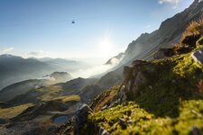
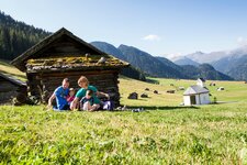
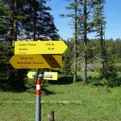
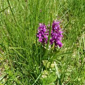
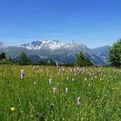
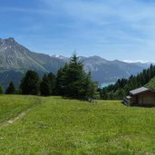
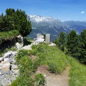
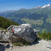
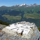
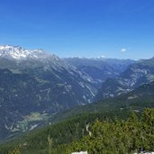
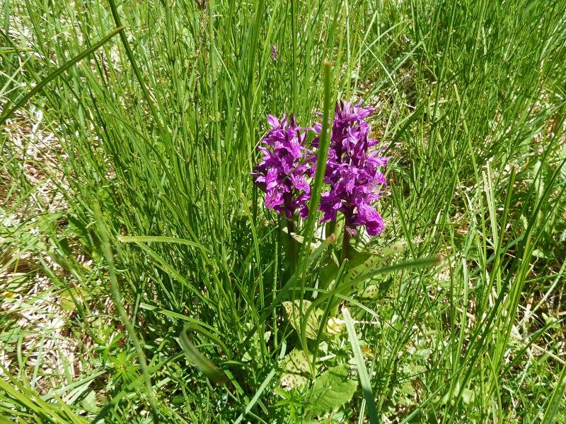
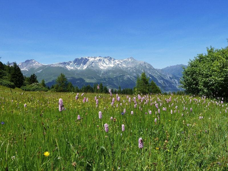
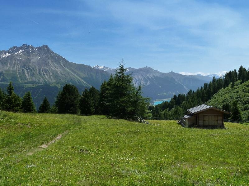
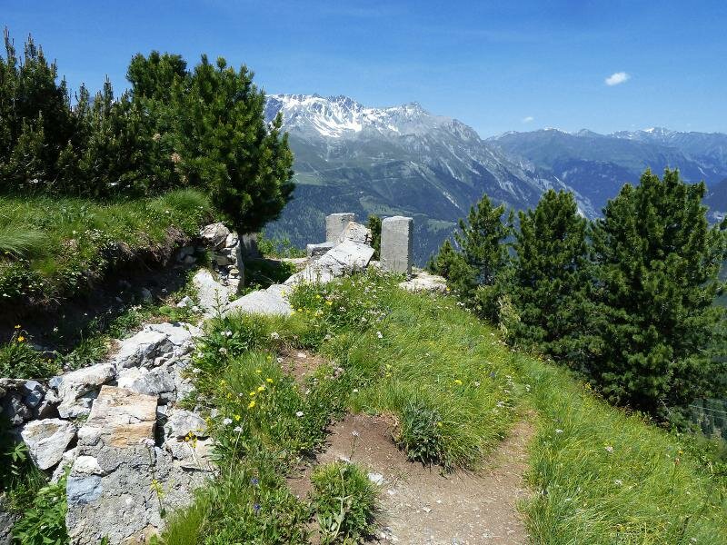
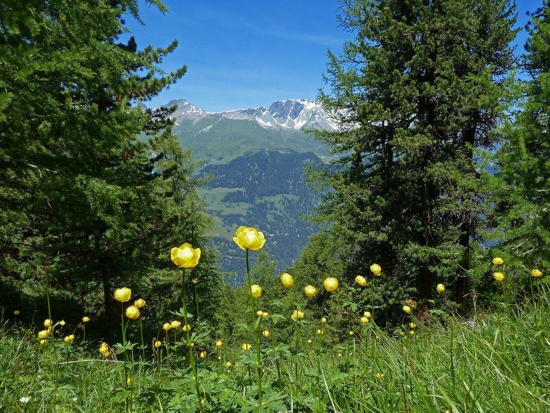
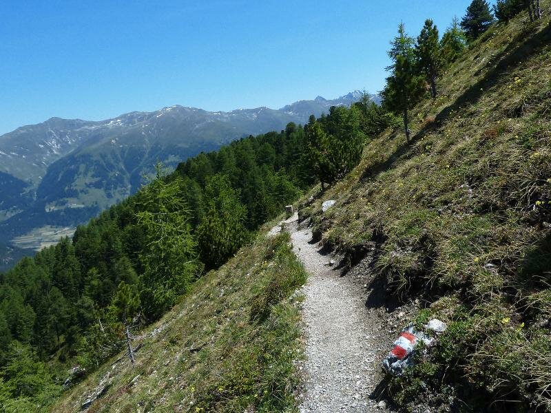
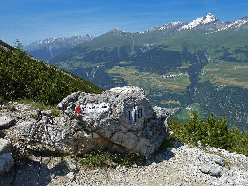
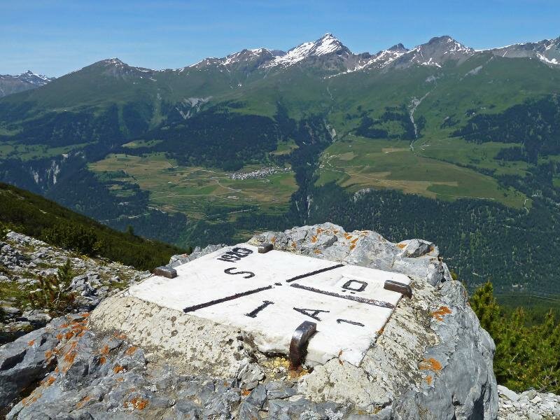
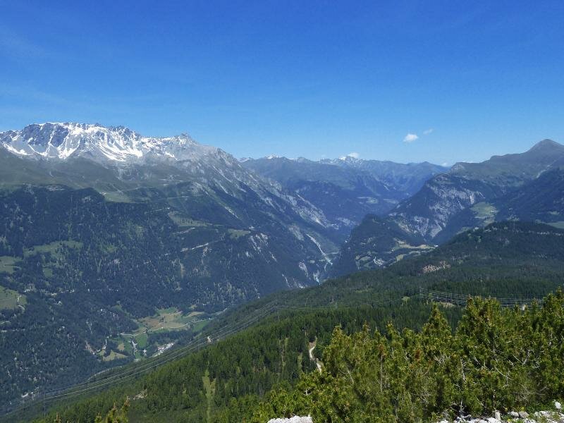
Now we follow the signpost to the boundary stone, across the Gufra Meadows, an alpine pasture with wetlands, and enjoy all kinds of blooming alpine flowers. We crack the 2,000 m mark and walk across South Tyrolean terrain for a short section, until we reach the border stone. From here we have a fantastic view on the lower Engadine with Ramosch and Tschlin, the summit of Mt. Muttler (3,294 m a.s.l.) and the area of Finstermünz in the Tyrolean Oberinntal valley. For our way back we take the same route, so we can enjoy the gorgeous natural landscape once more.
Author: AT
-
- Starting point:
- Mutzkopf mountain station, Nauders
-
- Time required:
- 04:30 h
-
- Track length:
- 12,9 km
-
- Altitude:
- from 1.680 m to 2.174 m
-
- Altitude difference:
- +701 m | -701 m
-
- Route:
- Mt. Kleinmutzkopf - Schwarzer See (Black Lake) - Grüner See (Green Lake) - Gufra Wiesen Meadows - Dreiländerstein Boundary Stone
-
- Signposts:
- Schwarzer See, no. 9, 6, 6A, Grüner See, Dreiländerstein
-
- Destination:
- Dreiländerstein (Boundary Stone)
-
- Recommended time of year:
- Jan Feb Mar Apr May Jun Jul Aug Sep Oct Nov Dec
-
- Download GPX track:
- Hike to the Boundary Stone
If you want to do this hike, we suggest you to check the weather and trail conditions in advance and on site before setting out.